0

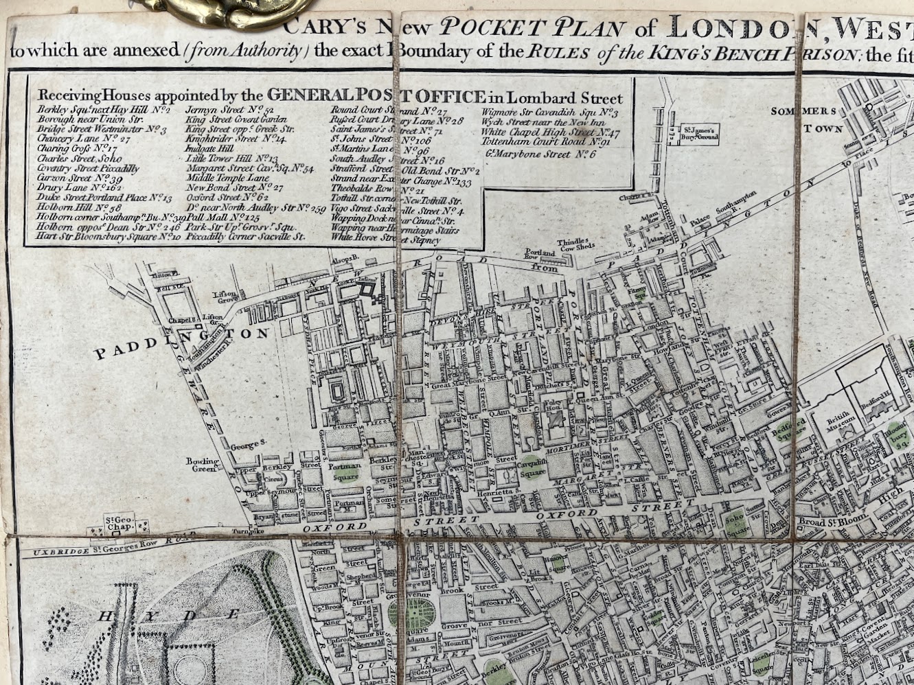
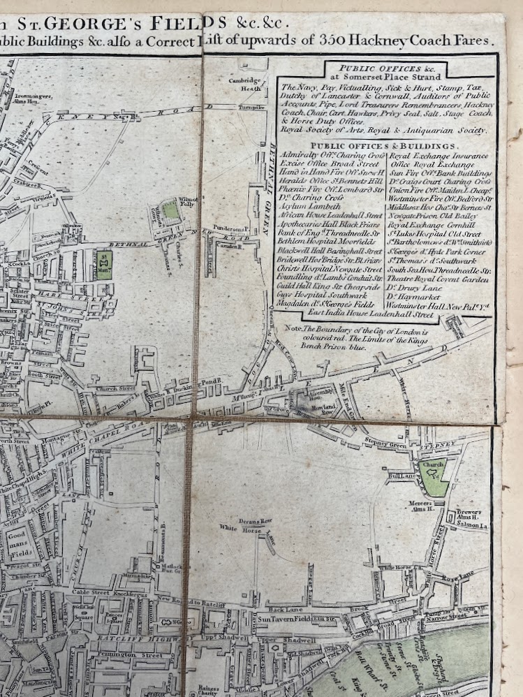
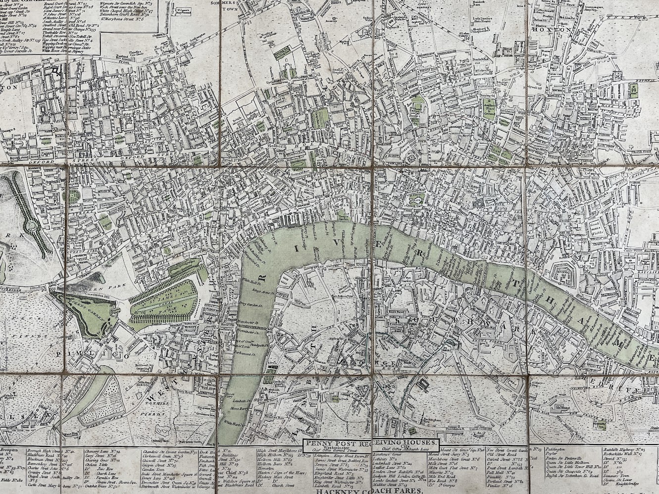
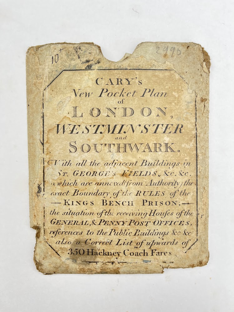
Cary's New Pocket Plan of London, Westminster and Southwark with all the adjacent Buildings in St George’s Fields &co.

John Cary
A folding pocket map of London measuring 61 cm x 42 cm which has been pasted onto cream card leaving a 1.5 cm border to the edges. The 18 panels… Read more
Published in c1810 by J. Cary.
£250.00*

Make enquiry

Make enquiry

Cary's New Pocket Plan of London, Westminster and Southwark with all the adjacent Buildings in St George’s Fields &co. by John Cary

To prevent spam, please leave the following text field blank:
Your name*
Your phone number
Your enquiry*
A folding pocket map of London measuring 61 cm x 42 cm which has been pasted onto cream card leaving a 1.5 cm border to the edges. The 18 panels which make up the map are clean and unmarked, just lifting slightly in places from their linen backing. Parks and river hand coloured in green ink. Includes the exact boundary of the Rules of the King’s Bench Prison; the situation of the Receiving Houses of the General & Penny Post Offices; References to the Public Buildings & co. also a Correct List of upwards of 350 Hackney Coach Fares. Included is the original cardboard slipcase; age worn; a little flattened.


Full details

Added under Map
Publisher J. Cary
Date published c1810
Subject 1 Map
Product code 10131


Delivery (UK)

FREE

Delivery (EUROPE)

£10

Delivery (WORLD)

£15
All orders over £200.00 qualify for free delivery!