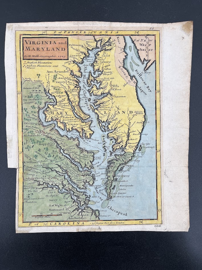
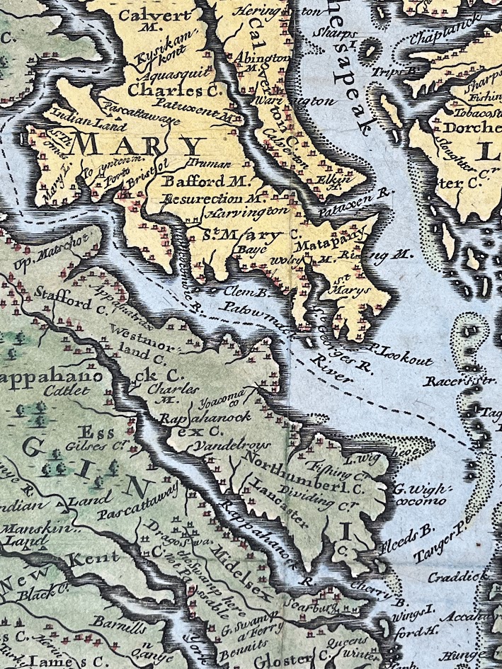
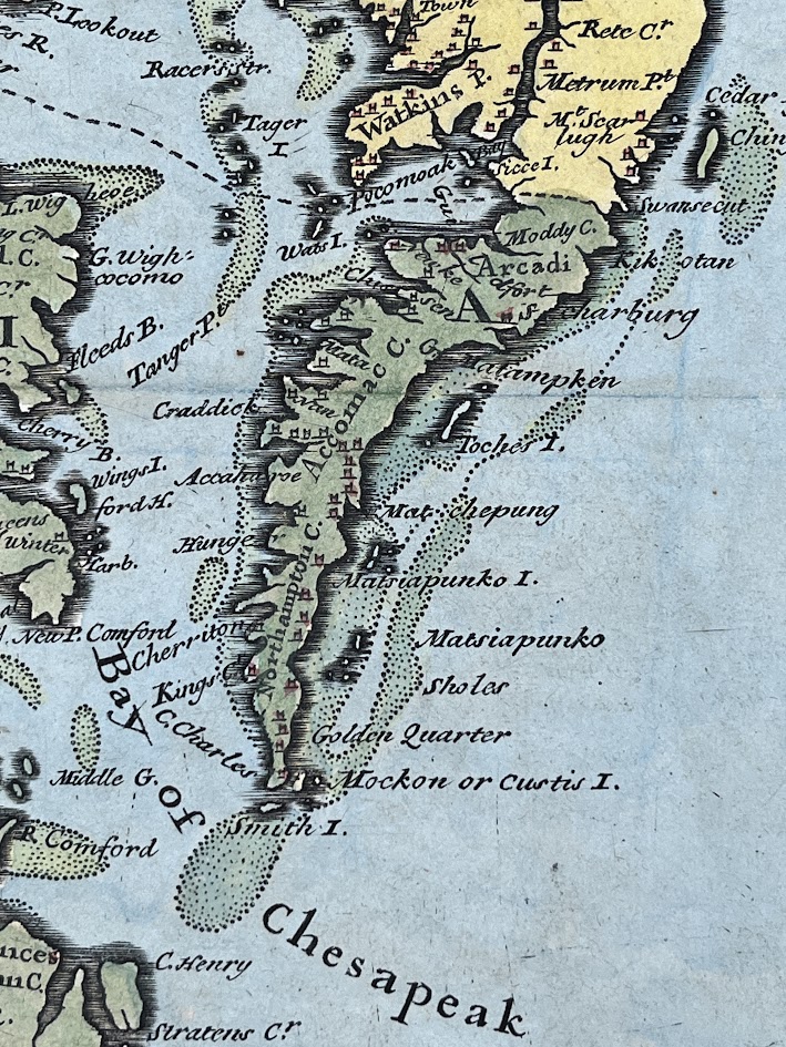
Virginia and Maryland by H Moll Geographer. 1729 - From Atlas Minor: or a new and curious set of sixty-two maps
Detailed atlas map in very good condition created by the British cartographer Herman Moll which depicts the Chesapeake Bay, Delaware Bay and surr… Read more
Published in 1729 by Thos. Bowles and John Bowles.
£400.00*
First edition
Full details
Added under
Map
Publisher
Thos. Bowles and John Bowles
Date published
1729
Subject 1
Map
First edition
Yes
Product code
10011